 Bend - (9 Miles; O&B) - Jellys Ferry to Massacre Flat
Jellys Ferry RoadBend, California 96007
Tehama
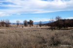
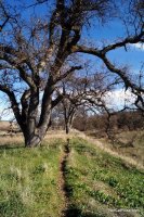
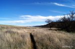
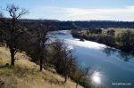
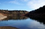
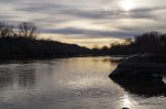
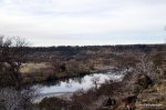
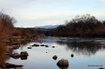
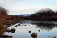
This is a great hike! Starting at the Jellys Ferry boat launch area, this out & back trail follows the Sacramento River around bends and turns to Massacre Flat.
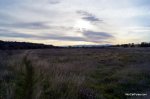
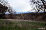
Hikers are treated to a variety of environments and views that make this trail unique and fun. The trail starts right along the Sacramento River, leads you through some meadows, over and along creeks and up to a bluff that overlooks the river before dropping hikers down to Massacre Flat in the last quarter mile.
This trail is beautiful, especially in the Spring and Summer when the wildflowers are in bloom.
Here is a MAP of the hike. You'll be hiking from Point 9 to Point 10.
Distance: 9 Miles; Out & Back
Degree of Difficulty: Easy/Moderate
Dogs: Yes, on leash only
Camping: You can camp at Massacre Flat. It's a primitive campground but does have bathrooms.
More info:
You can also take Jellys Ferry to Perry Riffle for a 8.5 mile one-way hike but you'll need to leave a car at Perry Riffle inside the Sacramento River Bend Area. Another great hike in the park is Perry Riffle (13) to Massacre Flat (10).
How to get there:
From I-5, just north of Red Bluff, take the Jellys Ferry Road exit and follow it until you reach the one lane bridge. The parking lot and trailhead are just on the other side of the bridge. Take a look at the map for more specific directions.
*Click on the photos to enlarge them